
 Rignano Flaminio
Cerano
Somma Lombardo
Cerda
Milazzo
Toro
Odolo
Caravate
Sasso Marconi
Stezzano
San Donà di Piave
Monte Porzio Catone
Saluzzo
Cene
San Giovanni Rotondo
Lungavilla
Casteldelfino
Ponzano di Fermo
Pachino
Rignano Flaminio
Cerano
Somma Lombardo
Cerda
Milazzo
Toro
Odolo
Caravate
Sasso Marconi
Stezzano
San Donà di Piave
Monte Porzio Catone
Saluzzo
Cene
San Giovanni Rotondo
Lungavilla
Casteldelfino
Ponzano di Fermo
Pachino
Tivoli on the map, Italy
Where is located Tivoli
Exact location — Tivoli, Città Metropolitana di Roma, Lazio, Italy, marked on the map with a red marker.
Coordinates
Tivoli, Italy coordinates in decimal format: latitude — 41.959817, longitude — 12.8022261. When converted to degrees, minutes, seconds Tivoli has the following coordinates: 41°57′35.34 north latitude and 12°48′8.01 east longitude.
Population
Tivoli, Città Metropolitana di Roma, Lazio, Italy, according to our data the population is — 49,303 residents, which is about 0.1% of the total population of the country (Italy).
Comparison of the population on the graph:
Exact time
Time zone for this location Tivoli — UTC +2 Europe/Rome. Exact time — saturday, 7 july 2024 year, 08 h. 04 minutes.
Sunrise and sunset
Tivoli, sunrise and sunset data for a date — saturday 6.07.2024.
| Sunrise | Sunset | Day (duration) |
|---|---|---|
| 05:44 +1 minute | 20:43 -0 minutes | 15 h. 0 minutes. -1 minute |
You can control the scale of the map using the auxiliary tools to find out exactly where it is located Tivoli. When you change the scale of the map, the width of the ruler also changes (in kilometers and miles).
Nearby cities
The largest cities that are located nearby:
- Latina — 55 km
- Terni — 68 km
- Pescara — 128 km
- Perugia — 132 km
- Giugliano in Campania — 163 km
- Naples — 173 km
- Ancona — 192 km
- Salerno — 217 km
- Foggia — 234 km
- Rimini — 234 km
- Florence — 235 km
- Prato — 252 km
- Forli — 257 km
- Livorno — 266 km
- Ravenna — 276 km
- Bologna — 303 km
- Ferrara — 331 km
- Modena — 332 km
- Split
 (Croatia) — 338 km
Distance to neighboring capitals:
- Ljubljana
 (Slovenia) — 476 km
 - Zagreb (Croatia) — 499 km
- Vaduz
 (Liechtenstein) — 632 km
 - Bern
 (Switzerland) — 699 km
 - Vienna
 (Austria) — 749 km
 - Paris
 (France) — 1118 km
 - Paris (France) — 1118 km
- Berlin
 (Germany) — 1175 km
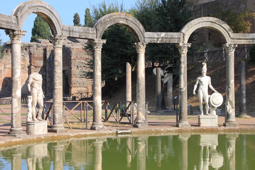
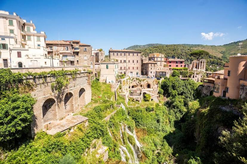
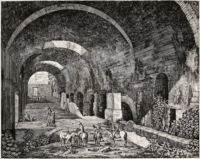
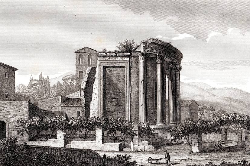
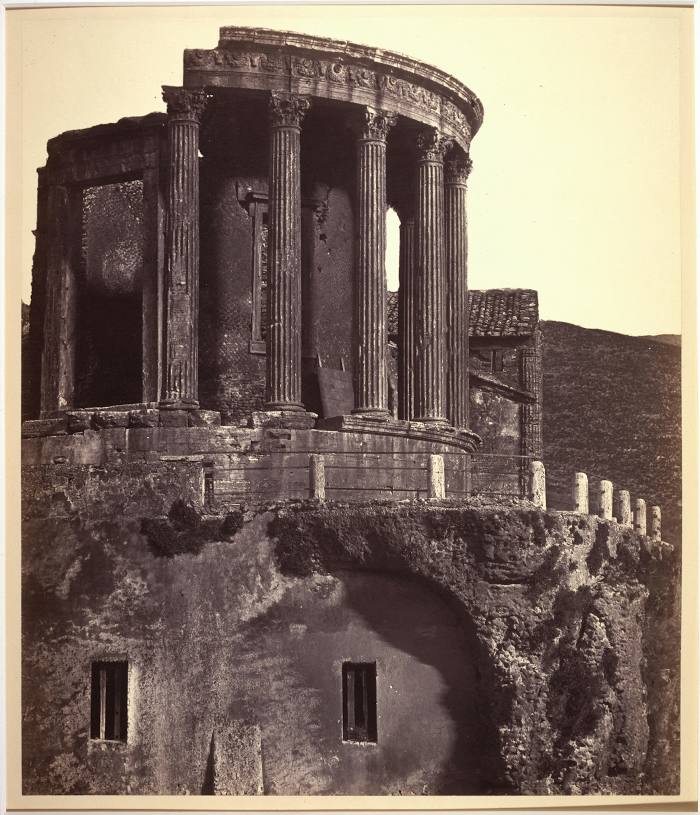
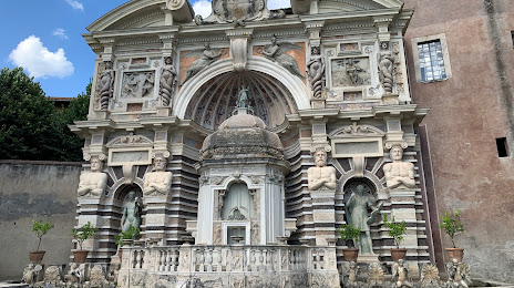
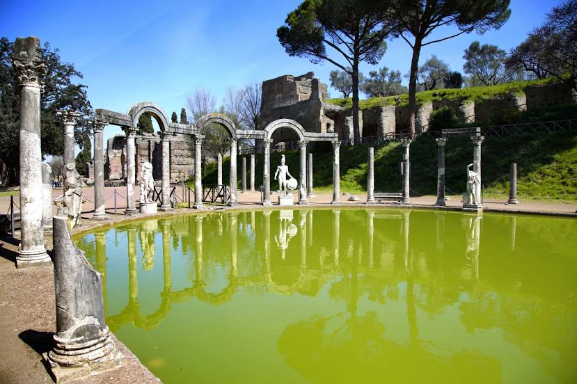
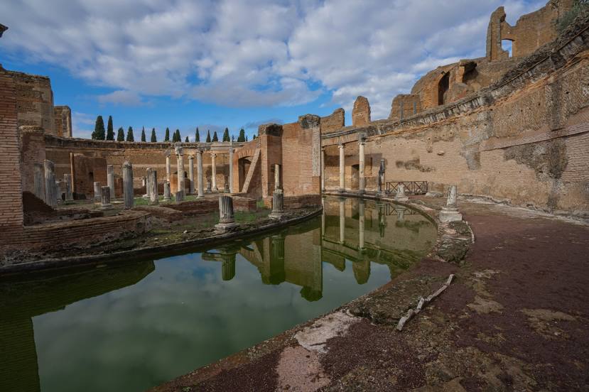
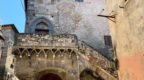
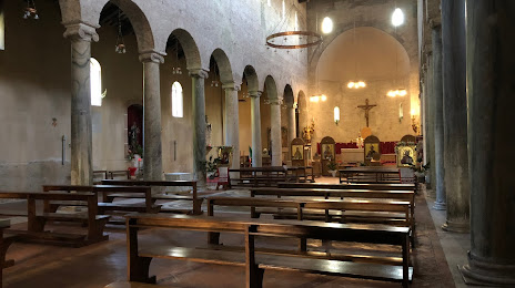
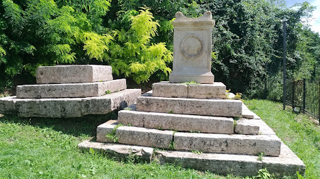
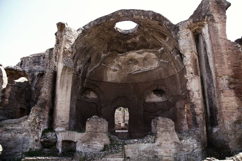
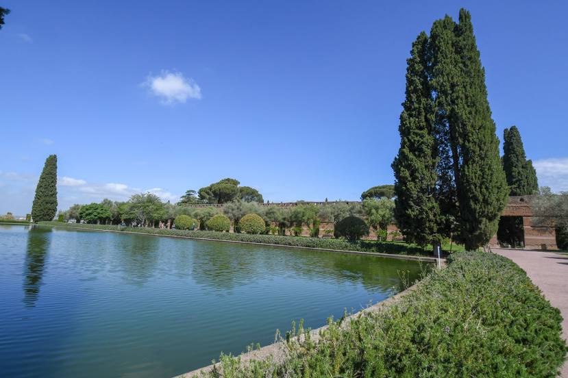
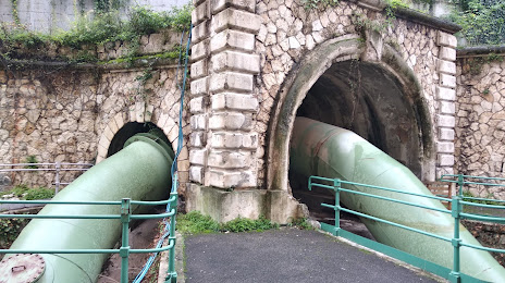
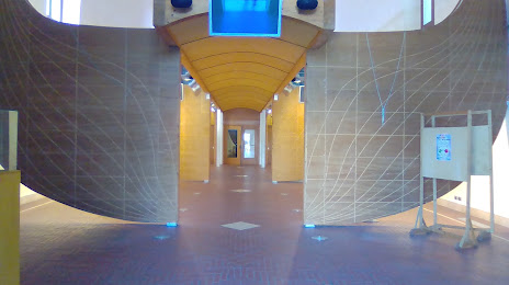
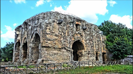
Attractions


Distance to the capital
Distance to the capital (Rome) is about — 26 km.